Introduction
Geography is a science that studies how humans and nature, society and the environment interact with each other. Geography explores the world as a changing and culturally diverse habitat from spatial and regional perspectives. Geography helps us to perceive and understand the world and its diversity.
Geography studies the natural environment and the changing world, as well as different countries, regions and places. To achieve this, geography makes use of a wide range of quantitative and qualitative research methods together with modern spatial data methods. Geographical research integrates interdisciplinary research skills from the natural sciences, humanities, social sciences and technology.
We all use geography in our everyday lives, and for some of us, geography offers a career that matches our education. By using geographical knowledge, you can contribute to the sustainable development of your local environment, your country and the wider world.
Upper secondary or high school level advanced geography courses strengthen your chances of success in entrance exams and postgraduate studies in a wide range of fields. For example, it is important to have a comprehensive grounding in geography if you want to work in business, the media or the public sector.
Geography looks at places, regions, the world and the environment
What is your favourite place? Is it a city you particularly like or would like to travel to? Or is it a wider region or country? Is it near or far? What's there? How do you travel there?
Geography is part of your everyday life, even if you may not often think about it. You use geographical information about places and regions every day, even though you may not always notice it yourself. Every day we encounter news about events in different places, and yet our knowledge of many of the world’s regions, countries and peoples is scarce. Learning geography gives you the knowledge to identify places and regions in your local area and around the world, to find the right route to places and regions that are important to you, and to make sensible decisions for the development of your home environment, your country and the world.
All areas, places and destinations have a geographical location. The exact absolute location of a place is represented by coordinates, which divide the world into latitudes and longitudes. Each location is different, and coordinates help you find exactly where you are. The distance between the point of departure and the point of arrival can be measured in terms of distance or time (in kilometres or in minutes, for example).
The relative location of a place describes whether it is near or far from where you are now. The relative location always depends on the observer and the place in question. For example, for many people living in Helsinki, Lapland seems to be very far away. On the other hand, a Chinese person flying to Europe via Helsinki might think to visit Lapland because they feel it is so close.
Geography looks at regional differences in many different ways. For example, absolute locations, altitude, climatic conditions, population density and human livelihoods vary considerably between different places.
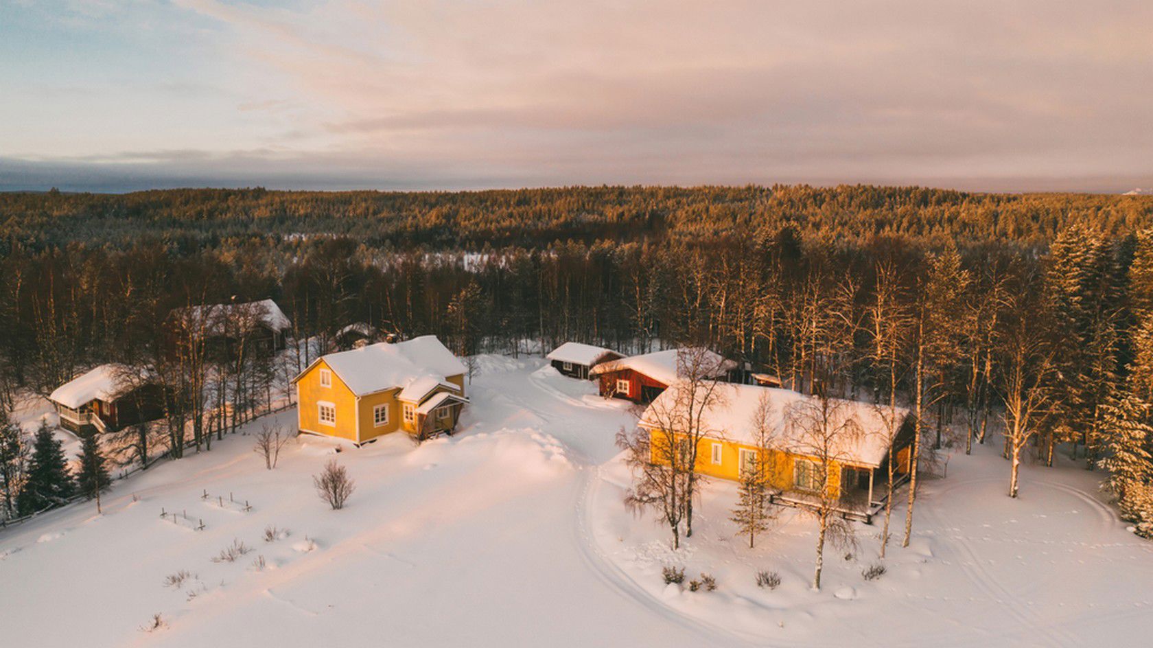
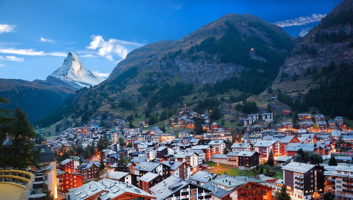
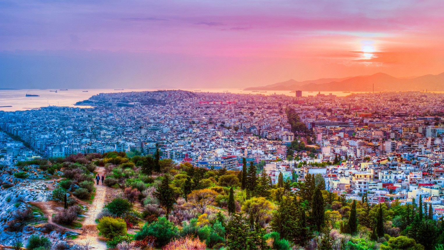
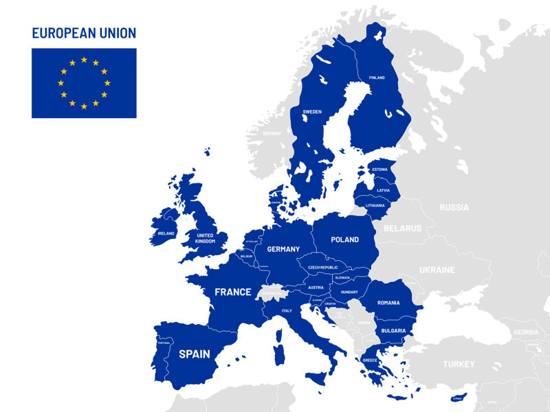
Geography is the key to understanding the world and its different regions and places. A spatial and regional perspective is important in geography. Places are physical locations that are meaningful to you or to some person or activity. For example, your home environment is a place, as is the city where your favourite sports team plays. Regions are geographically larger entities. The places within a region share similarities and are different from those outside the region. An example of a region is a province, or in some cases a country, or the European Union in relation to other global economic regions.
A place or a region can mean different things to people. For example, Kenya is home to nearly 50 million people, while most Europeans think of it as a distant country in Africa.
What is special about geography compared to other disciplines? Geography looks at the world as a changing and culturally diverse environment. Geography helps us to understand the world and its diversity. Geography focuses on both natural and human-made places, regions and environments.
Examples of regions
Continents | The globe has seven continents. |
The regional division of Europe | Europe can be divided into regions such as Southern, Eastern, Western and Northern Europe. |
The EU | The European Union is an economic and political union of 27 Member States. |
European countries | There are 51 countries in Europe. |
The administrative division of a nation | The administrative division of a nation is based on administrative regions and municipalities. There can be many kinds of administrative regions, such as welfare regions, regional administrative agencies and health districts. |
Districts and villages | A city district is an area defined in the city plan as separate from other districts. Villages are informal regional communities |
As a science, geography studies, observes and demonstrates how nature and humans interact with each other. As a result, geography paints a picture of an environment that consists of both the natural world and the human activity that takes place within that world. By immersing yourself in geography, you will be able to observe your everyday environment, follow and reflect on current world events, describe the spatial phenomena, structures and interactions of nature and human activity, and find ways to influence the development of your home environment, your country and the world.
Geography explores the world in a variety of ways
The regional perspective of geography
In geography, we study where different kinds of natural environments and human activities are located and where human interactions with nature take place. This allows us to divide the world and its parts into economic, political, cultural and natural regions.
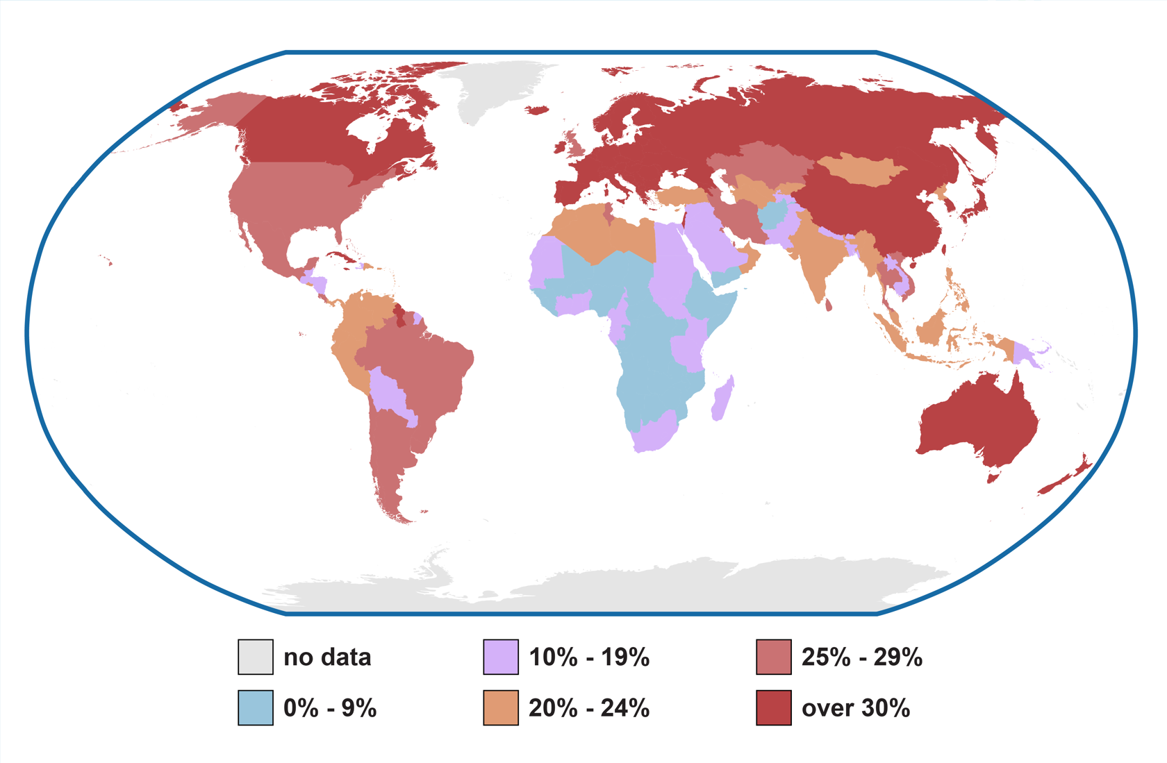
A region is an area that has certain characteristics. A region is delimited in terms of the different areas that surround it. We can also use existing territorial divisions, such as the division of the world into continents and countries, or the division of countries into provinces, municipalities and districts. Territories can also be shaped by people's cultural circles, economic interactions or perceptions about the world and their place in it. Regions formed by natural phenomena rarely coincide perfectly with administrative regions such as states or municipalities. On the other hand, certain natural features, such as rivers and mountain ranges, often form boundaries between different states.
As a result of regional analysis, we know what kinds of areas and smaller places make up the Earth and its regions. We understand the current state of development of the environment, the changes that occur in the environment and the resources needed for its sustainable development. We will identify where development is progressing well and where the most challenging areas and places are. An in-depth knowledge of the characteristics of regions helps us to understand phenomena near and far.
The table below shows the welfare indices for three different countries. What can you conclude about the differences between the countries?
Examples of welfare indices for three nations
Nation | Surface area | Population | Population density | GDP per capita |
9 833 000 km² | 328 000 000 | 33 inh./km² | 65 120 USD | |
338 465 km² | 5 532 000 | 16 inh./km² | 48 685 USD | |
390 757 km2 | 14 215 000 | 26 inh./km2 | 1 470 USD |
The spatial perspective of geography
In geography, we also use spatial methods to study and describe the roles of local and global phenomena in the interaction between nature and human activity and the distribution of the world into regions and places.
Thanks to spatial analysis, we can know how location affects the interaction and development of different regions and places. We can also learn how and why regions like states and cities change. Spatial analysis also deepens our understanding of the reasons why the world is divided into changing economic, political and cultural regions, the role of natural conditions and resources, and the risks and opportunities associated with the interaction between nature and human activities. We can identify the causes and consequences of challenges and opportunities within and between regions, and discover ways to influence the development of our local environment and regions.
Regional and general geography
Geography can be divided into two main fields: regional geography and general geography. Regional geography studies a wide range of specific areas, such as countries, and the location and spatial occurrence of their natural and human features.
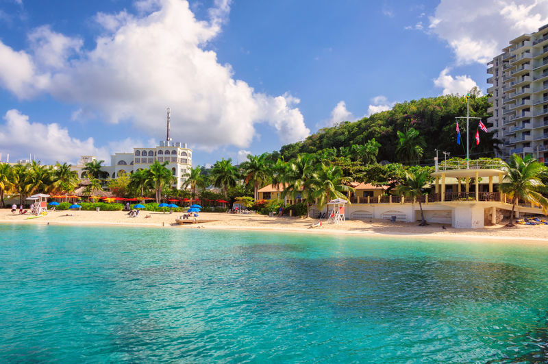
Human activity is closely linked to the natural environment. The natural environment is influenced by humans in many ways, and natural phenomena pose many challenges and opportunities for humans. The field of general geography studies the regional and spatial aspects of the natural environment and the world of human activity. It can be divided further into the fields of natural and human geography. A specific feature of geography is the representation of geographical observations by means of maps. Thus, cartography is one of the most important subdisciplines of geography.
Natural geography is the study of the natural environment and the spatial occurrence of its features. It focuses on landforms, the water cycle, climate and the distribution of organisms. Research topics include a wide range of natural processes, such as earthquakes, floods or the effects of climate change on the evolution of species. Natural geography helps us to understand the constant change in the environment and provides tools for sustainable environmental development. Natural geography also draws on the expertise of other scientific disciplines. These include geology, which studies the structure of the Earth and its bedrock, meteorology, which studies climate and weather, and biology, which studies living nature and the evolution of organisms.
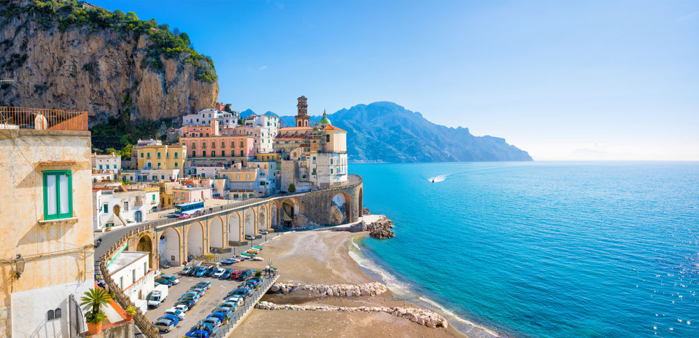
Human geography studies how human activity and society evolve spatially. It addresses issues such as the economy, populations, cities and land use planning. Research topics may relate to residential and working environments in cities or how the global economy and politics affect regional development. Research in human geography helps us to better understand regional development and provides tools for sustainable development of regions. Human geography draws on the expertise of many disciplines. These include urban planning, which studies the planning of built environments, economics, which studies economic development, and political science, which studies politics.
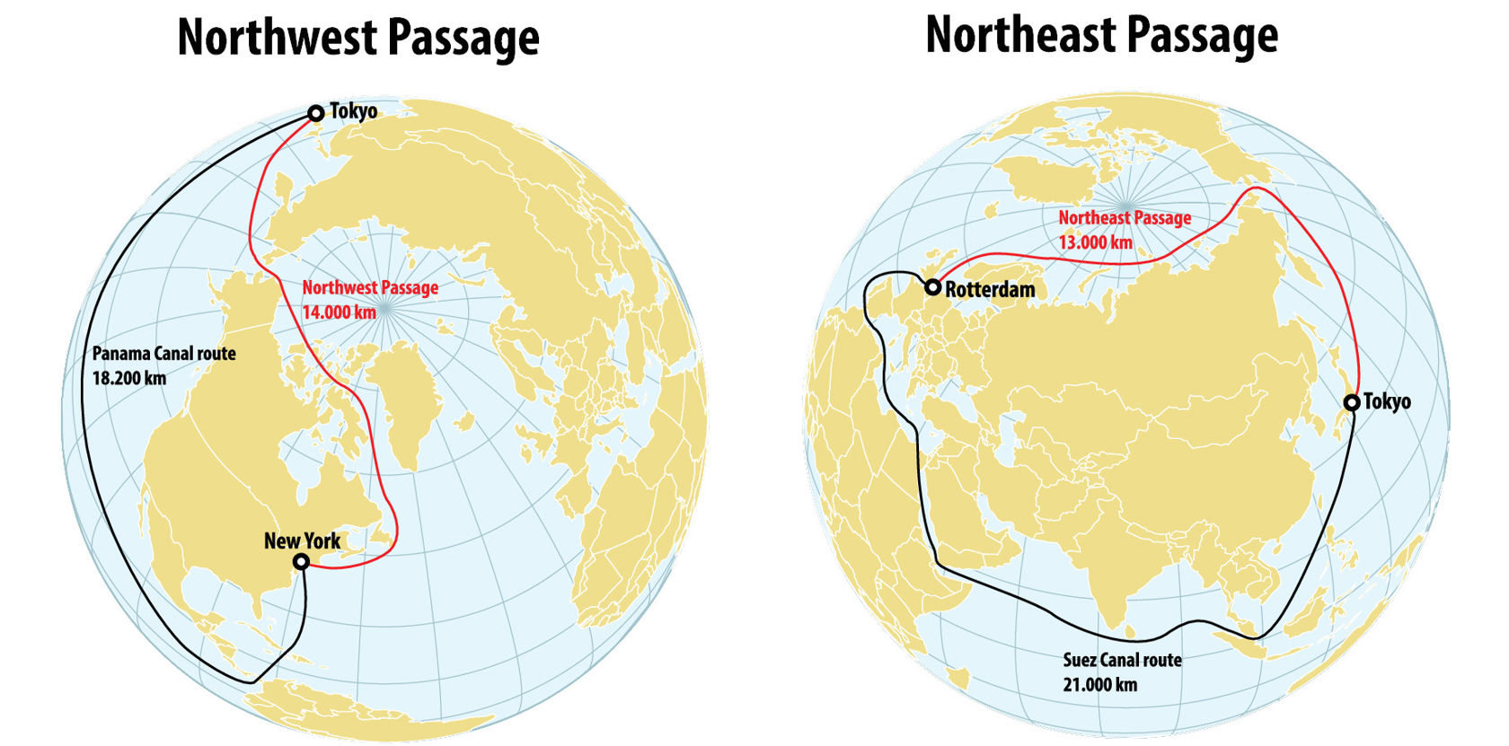
Natural geography and human geography are often connected. For example, we can study the effects of volcanic eruptions on affected villages, towns and communities. The effects of anthropogenic global warming on human activities can also be examined. For example, research has shown that the Alps receive less snowfall each year than they did before. As a result, people interested in skiing and winter tourism are heading to northern Europe more often than they did before. At the same time, the melting ice around the North Pole will allow freight shipping to the north of Siberia and North America via the Northwest and Northeast Passages. This will speed up trade between the continents.
Fields of geography
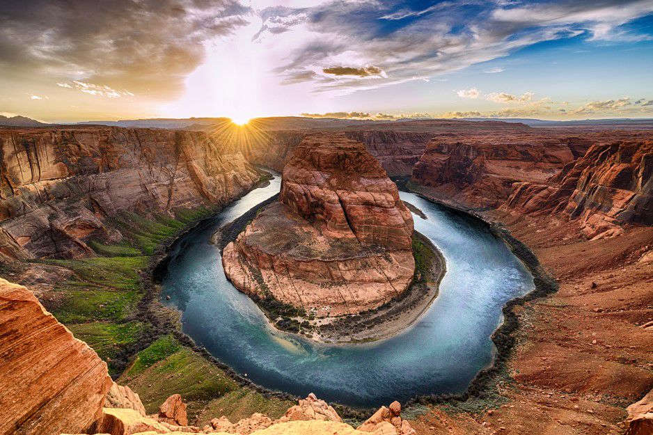

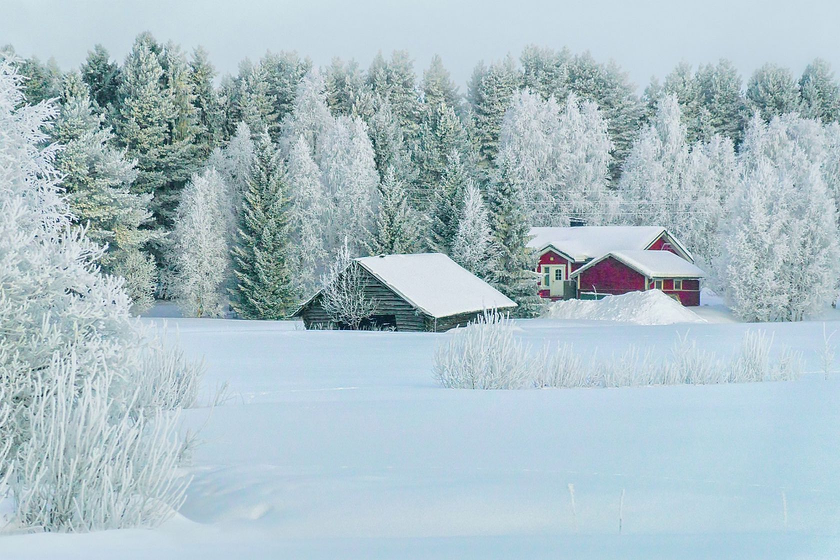
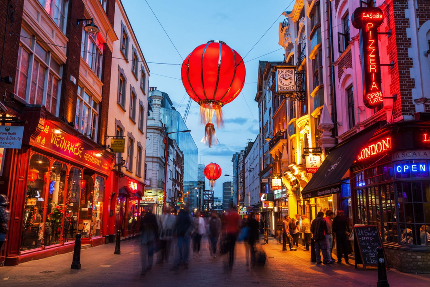
Test your basic knowledge of geography
Here is a modified version of a matriculation exam task from autumn 2026.
The map below is linked to the questions.
The questions cover topics covered in the high school geography curriculum. You may already be familiar with some of the topics, while others may seem more difficult.
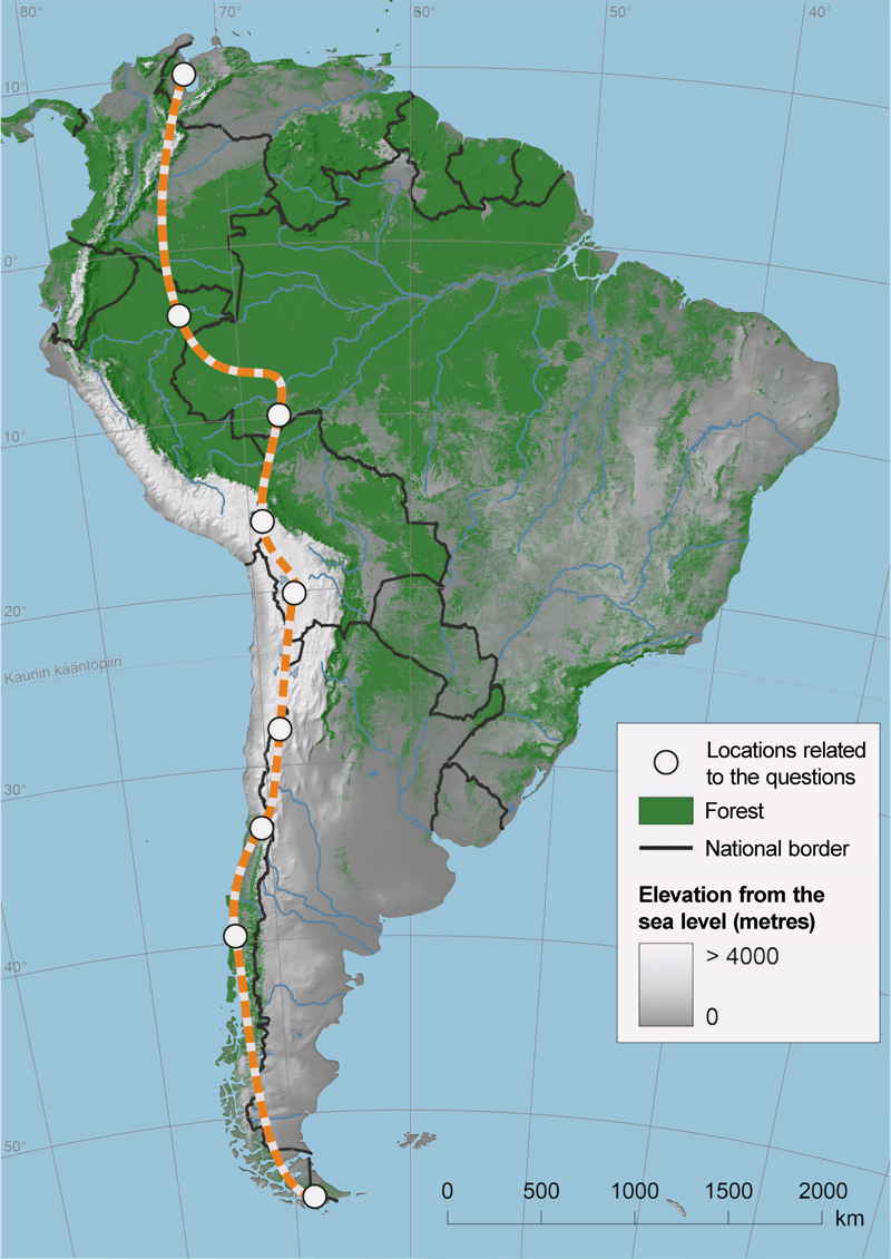
(© Finnish Matriculation Exam Board)
Summary
- Geography studies nature and human activity from spatial and regional perspectives.
- Geography is divided into two main fields: regional and general geography.
- General geography is made up of natural geography and human geography.
- Geography studies, discovers and demonstrates how humans and nature, society and the environment interact with each other.
- Geography is the key to understanding the world and its places.
- The versatile use of maps is important in geography.