Introduction
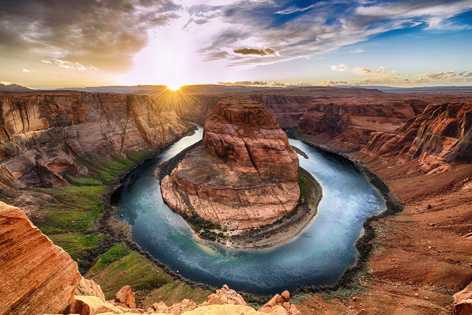
Geography is a science that studies how humans and nature, society and the environment interact with each other. Geography explores the world as a changing and culturally diverse habitat from spatial and territorial perspectives. Geography helps us to perceive and understand the world and its diversity.
Geography studies the natural environment and the changing world, as well as different countries, regions and places. To achieve this, geography makes use of a wide range of quantitative and qualitative research methods together with modern spatial data methods.
We all use geography in our everyday lives, and for some of us, geography offers a career that matches our education, interesting jobs and a living. And by using geographical knowledge, you can contribute to the sustainable development of your local environment, your country and the wider world.
Fields of geography
Interpreting everyday observations and experiences through geography
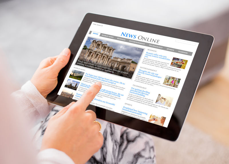
We are constantly surrounded by news, events and information about places, regions and countries. Geography is the science of making accurate observations and measurements of places and regions, and of acquiring and interpreting information about them through research. Geography also offers new insights into our everyday surroundings and our ever-changing world.
The content of school geography is primarily determined by people who have been trained as geographers. They have read books and research articles on geography at universities. Later, some of them carry out geographical research and produce new geographical information. Through geographic research, we know more and more about our environment, regions and human activities around the world. Our knowledge of geography is constantly improving and expanding.
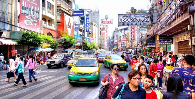
Every day we encounter a variety of different news from all over the world. To understand them, we must be familiar with the natural and human features of the places, regions and countries where they come from. In other words, we need geographical information. Geographical information is obtained through observations, which are organised using geographical research methods.
By acquiring, analysing and interpreting geographic data, we also know why devastating earthquakes occur in particular places, why the Baltic Sea is polluted, why its current state is slowly improving and how we can restore its environment.
Geographical information helps us to understand, interpret and assess the environments that surround us, the changing interactions between nature and human activities and current events related to human activities and the environment. When we know enough of these phenomena, we can apply this geographic information to solve problems and to make better decisions.
Geographical information also allows us to experience our surroundings. It helps us to go to the right place at the right time to listen to the songs of the first migratory birds in spring or to watch the sun set behind the buildings of a city. We can apply geographical knowledge in our everyday life when planning trips or when choosing where to go on holiday.
It is useful to know where, how and why different phenomena happen, whether they occur in your home region or in the globalised world. Where are the products you buy made, where is the food you eat produced, what forms of transport do you use and what kinds of people do you interact with? With a better understanding of how your daily actions and choices are linked to various phenomena in the globalised world, you will be able to influence the development of your home region and the world at large.
New ways of collecting and using geographic information
Participating in the collection of volunteered geographic information (VGI) can help improve maps of regions or provide information from crisis areas. The best-known collaborative mapping project is OpenStreetMap, which is an open-source global street map service. It is used by many humanitarian organisations and web services. OpenStreetMap allows its users to add information to the map that is not available on commercial maps, such as small paths. As a result, OpenStreetMap contains the most accurate map data available of certain areas.
By combining images and location data, a wide range of information about places can be shared. For example, you can upload location-tagged images to Instagram or Flickr, or link images to locations on Google Maps. In this way, the users of these services can help improve the data available to other users.
When you allow your mobile device to transmit location data, you are giving applications permission to access a lot of information about yourself. When you go to the store with your smartphone and use your store loyalty card, you have given away a lot of information about your consumer habits. Using this information, service providers can find out which store you visited, when you went there and what you bought.
The real-time information about traffic congestion provided by navigation and mapping services is also based on the automatic tracking of the locations of users' mobile devices. This technology is used for example by Google Maps, which allows users to choose the fastest route based on current traffic conditions.
Examples of the use of fast and automatically collected data
Subject | Example |
Real-time data collection on the movement of people | Google collects data on the locations of millions of devices worldwide (Google Location History, GLH). This allows Google to provide accurate information about people's movements almost globally on its Maps service for car navigation and traffic congestion information. |
Automatically collected data from machines and measuring devices (Internet of Things) | Many kinds of equipment such as lifts, smart watches, vehicles and many household appliances transmit information and operate on the basis of data transmitted over the internet. For example, in agriculture and horticulture, sensors can be used to precisely control the amount of water used for irrigation and pesticides. |
Volunteering using GIS | People in crisis areas can quickly share location-tagged images and videos via social media or geolocation apps. |
Summary
- To understand news and events, we need geographical information about the human activities and natural environments of different places, regions and countries.
- Geographical information is obtained through observations, which are organised with the help of quantitative, qualitative and spatial research methods.